High-accuracy drone mapping for farm drainage. Capture field elevation data, locate low pockets, and design accurate surface or subsurface runoff plans.
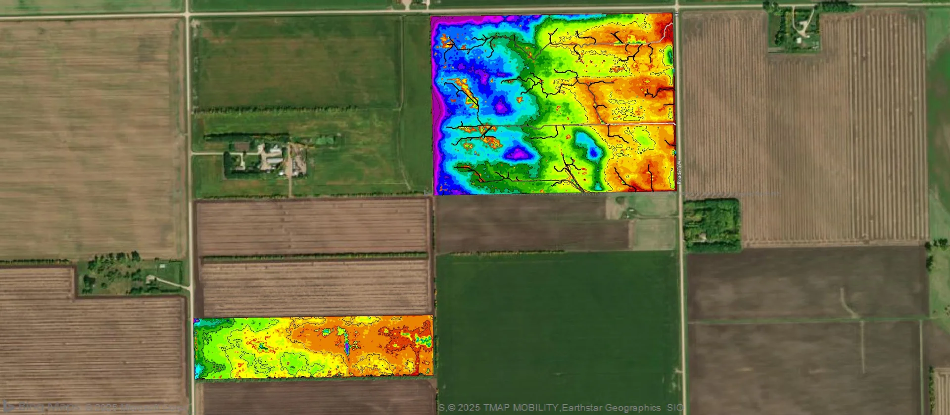
Good drainage starts with understanding how water moves across your topography. Our aerial mapping service uses RTK-enabled drone flights to capture accurate field elevations across your entire acreage.
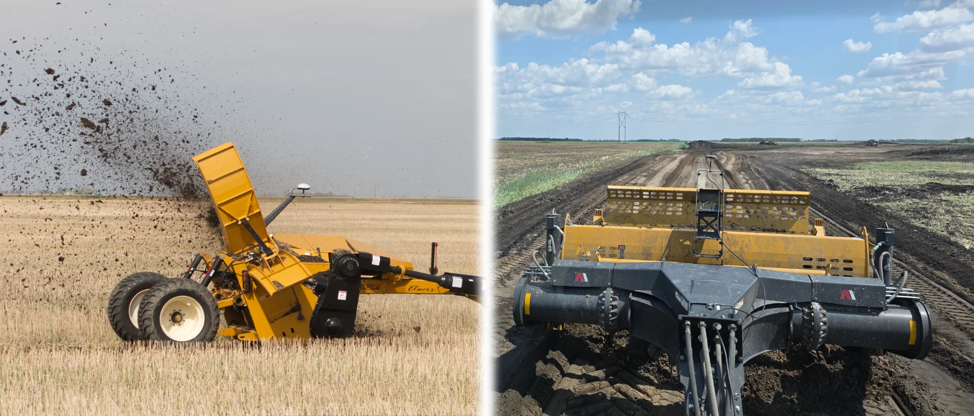
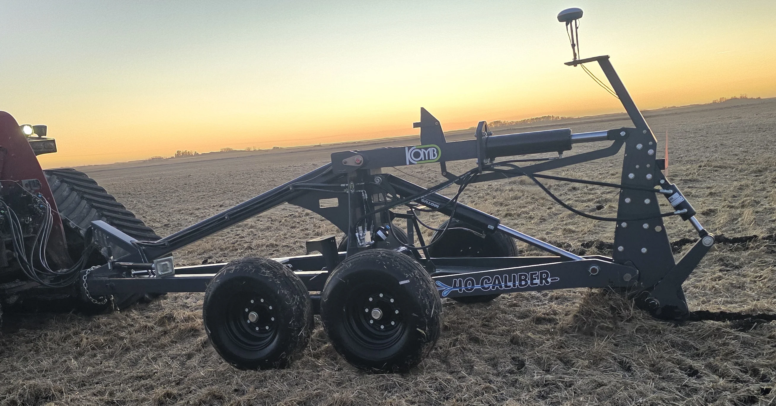
Instead of relying on outdated government contours or visual estimates, you get a detailed 3D topographic model showing exact flow paths, high spots, and depressions. This data integrates directly into grade-control software for ditchers, scrapers, and tile plows.
Key Benefits: